Everett Blakley

Software Developer | GIS Analyst | Nerd
About
I am a software developer who specializes in making interactive and intuitive interfaces to solve a variety of complex problems. I focus primarily on the frontend, but have experience in the full stack of web application development.
I also have a large amount of experience in GIS (Geographical Information Systems), with an education specializing in geographic statistics.
In my spare time, I dabble in Dungeons and Dragons, mountain biking, woodworking, and a plethora other hobbies. Some people collect trinkets, I collect hobbies.
Resume
Lead Frontend Developer
MakeShift (March 2021 - Current)IT Consultant
Environmental Mats Ltd. (January 2020 - January 2021)Desgined, developed, and deployed proprietary inventory management software
Software Developer
Arcurve Inc. (January 2019 - April 2020)Developed enterprise-level, web-based applications using a variety of cutting edge technologies, specializing in React on the frontend and .NET in the backend
Data Collection Clerk
City of Lethbridge (May 2018 - April 2019)Collected and maintained spatial data catalog of various assets using ArcGIS. Created maps and reports for various City departments. Performed analysis of urban forestry inventory using LiDAR Data.
GIS Analyst Assistant
Diashowa Marabeni International (May 2017 - December 2017)Created maps for forestry planners and operations staff using ArcGIS. Built custom geoprocessing tools using Python to automate workflows and perform complex analyses
Education
BSc Computer Science and GIS
University of Lethbridge (2018 - 2020)Courses taken in software development, remote sensing, and LiDAR data analysis
BSc Applied Statistics concentrated in Geography
University of Lethbridge (2012 - 2017)Courses taken in statistical data analysis, spatial statistics, and geographic information systems
Projects

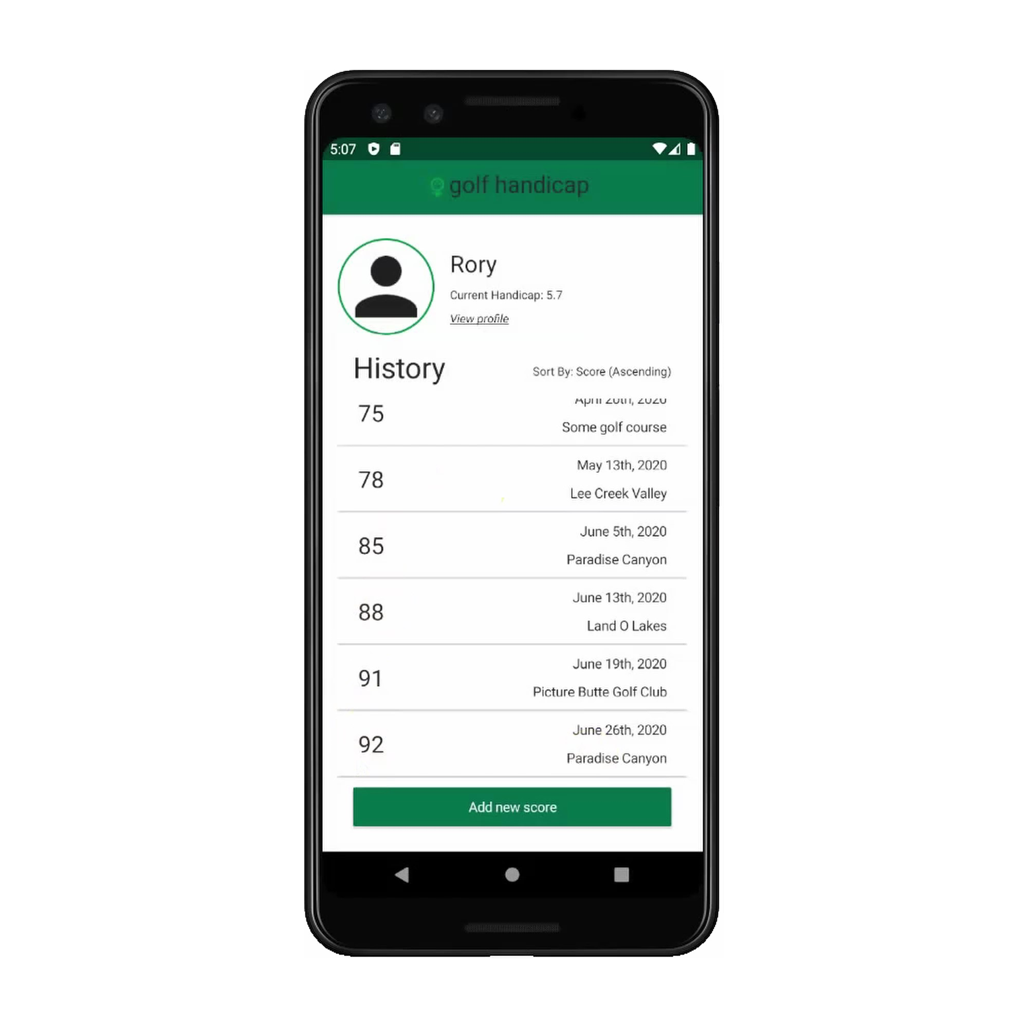
Golf Handicap App
Mobile, Angular, NativeScript

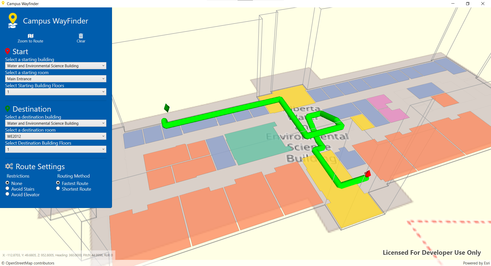
Campus Wayfinder
Desktop, C#, ArcGIS

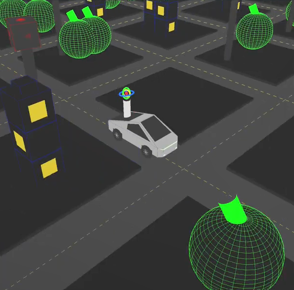
Battle Hummer
Desktop, C++, OpenGL